
Čapljina, the city shaped by four rivers
Trebižat, Bregava, and Krupa flow into the Neretva here. Between them stand a 4th-century Roman villa, a bridge designed by Gustave Eiffel, and a wetland where 235 bird species spend the winter. All on one map.
- Nature Park Hutovo Blato
- 7411 ha
- Types of birds that winter here.
- 235
- Mogorjelo, Late Antiquity
- IV. century
- Built: Klepci Bridge
- 1517.
Where to start
Tourist map
Explore Čapljina in real time - a map that guides you to everything worth seeing.
Open the map CatalogLocations
Attractions, culture, recreation, accommodation and food, sorted by category.
Browse locations CalendarEvents and announcements
Concerts, workshops, sports events and town announcements, filtered by date and place.
See the calendar ArchiveDigital Monograph
Explore Čapljina through an interactive timeline - History that lives before you.
Enter the monographWorth seeing
All locations-
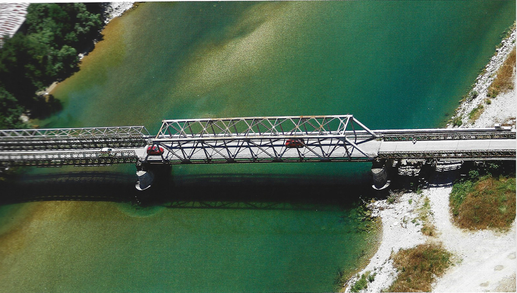 Sights
Old Bridge
This structure serves as a reminder of the narrow-gauge railway that was partially destroyed during the Homeland War and then restored.
-
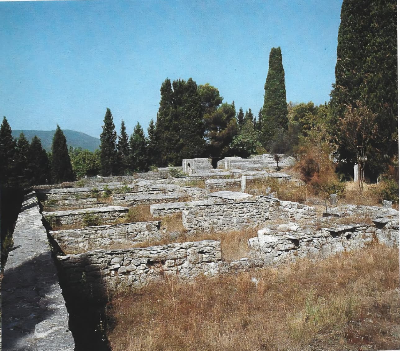 Sights
Mogorjelo
Mogorjelo is one of the most beautiful examples of late antique architecture in Herzegovina, representing...
-
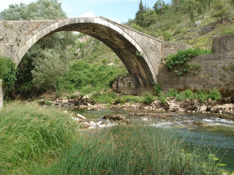 Sights
Bridge in Klepci
Just before the confluence of the Bregava River, you can discover the old bridge in...
-
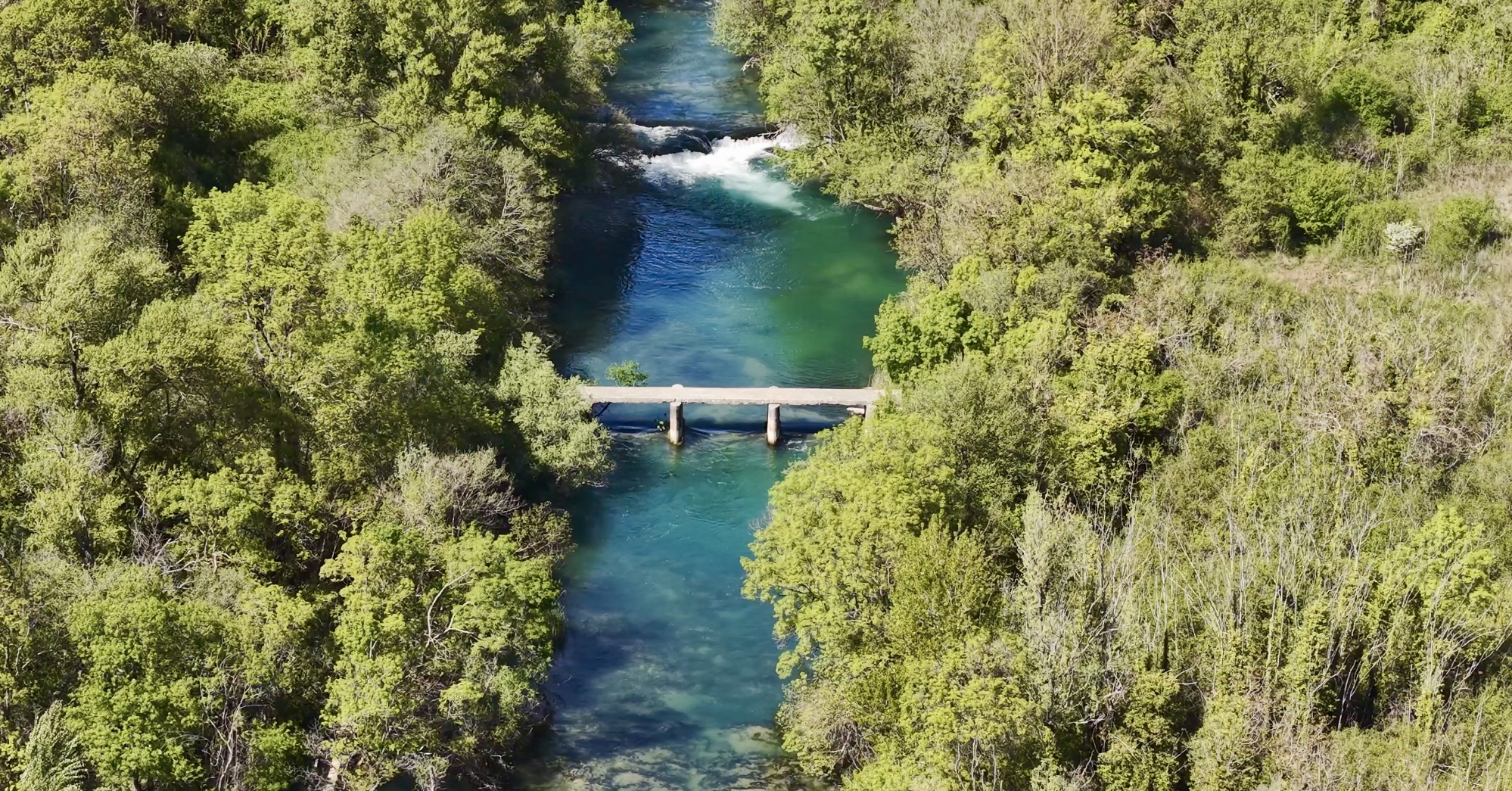 Interesting locations
Dam
The dam represents an interesting location in Čapljina that is worth including in your tour...
-
 Sights
Hutovo Blato
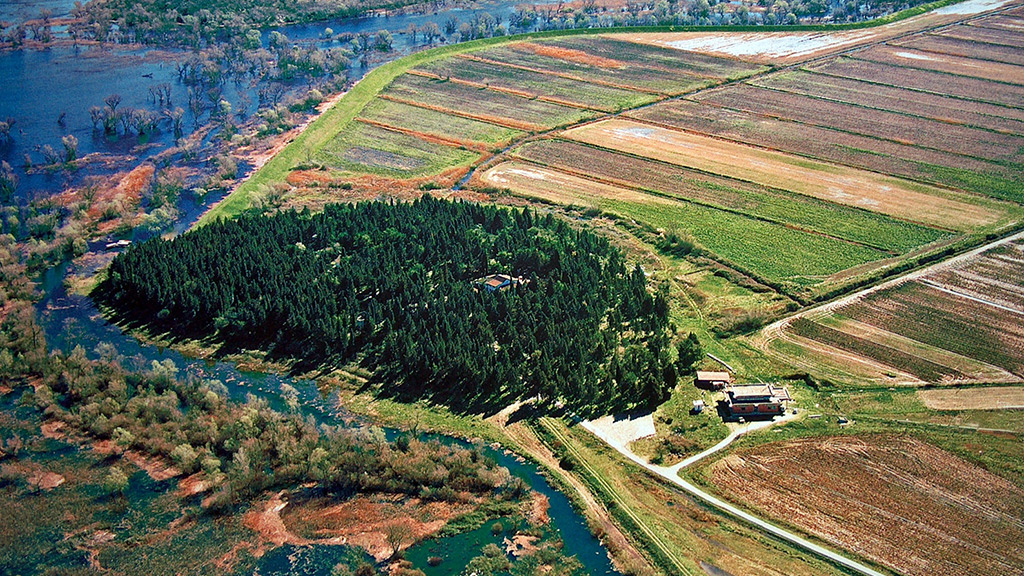
Hutovo Blato, located between Budisavina and Crno Brdo, represents a green oasis covering 7,411 ha....
Before you arrive
What to visit in Čapljina in one day?
Start at Mogorjelo, continue to Počitelj, and finish with a walk along the Neretva River, from the Old Bridge to Mogorjelo. If you have another half day, add Hutovo Blato or the Jaz swimming area on the Trebižat River.
How far is Čapljina from Mostar and Dubrovnik?
About 30 km south of Mostar and approximately 100 km from Dubrovnik. The town is located on the M17 main road, while the railway and bus stations are at Ban Josip Jelačić Square, which also has 94 parking spaces.
Where to swim and what to do on the rivers?
The swimming areas Jaz and Matica on the Trebižat are arranged for swimming. For canoeing and kayaking, there is Adventure Trebižat, and for biking and paragliding, Gradina park.
It is all on one map.
The map works on mobile, no install needed, and guides you from parking to destination.
Open the tourist map